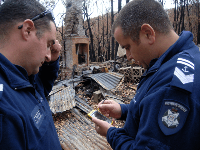
The technological advancement and the use of social media has facilitated the speed, quantity and quality of first hand information attained from the ground from community members. From the Haiti earthquake in 2010 to the COVID-19 world pandemic of 2020 it has shown the world how collective efforts materialised in the form map based EMD to assist assessing the severity of the event and damages caused. This can then be used to improve situational awareness, decrease response and recovery time. However it does not come without problems of reliability, volume and cosistancy. As such a framework must be in place to ensure that this method adds value within the GIS application by providing consistent, analysable data and that neither too little or to much information is collected. Often data requires futher sorting to be utalized but this issues maybe resolved as the progression of artifical intelligence and data mining evolves. Spatial Sciences Institute 2019


Interoperability is the ability to exchange and use of information. It is key to successfully ensuring accesability of information to decision makes no matter the number and diversity of stakeholders involvement
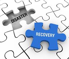
A lack of interoperability can lead to slow data exchange, poor accessibility, and misinterpretation. As data is diverse and can come in varing formats such as an engineers CAD file, a GIS workers shapefile or an administrative exel sheet. This can create a considerable resource burden to extract the data or see and understand all the pieces of an emergiency or disasters puzzle but “[t]he emergency management community can move towards one or several closely related standard data formats that can be used in data transfer and information sharing”. Abdalla 2007


